Country Menu – Volcano WebCam library


NASA SCI Files – History of Volcanoes by NASA LaRC Office of Education Publication date 10/17/2001 – (Volcanoes for 6 year olds. Colman) https://archive.org/details/movies
Volcano Eruptions by USA National Archives and Records Administration Publication date 1959 24 minutes, No sound.
Volcano! (tvprogram_1987 documentary 57 minutes) by John Simmons, Don Wescott, Coronet (Firm), WGBH Educational Foundation., British Broadcasting Corporation. Television Service., Geofilms Limited. NB: Free stuff is what poor students watch. Did I see the inspiration for The Day after Tomorrow (movie_2004) here?

Iceland


Spain

Spain – La Palma
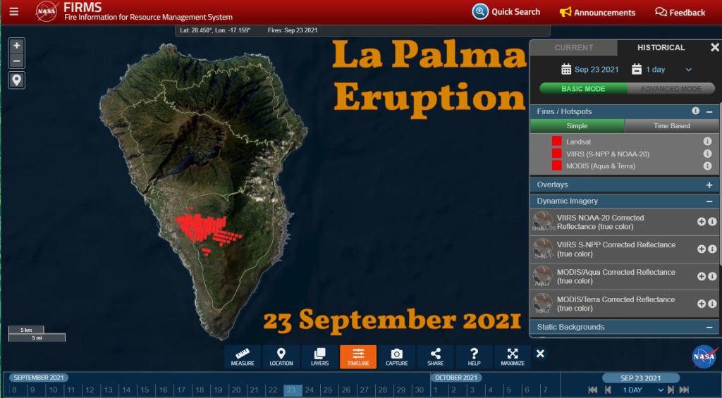
SkyLine Webcams Volcano in La Palma – Cumbre Vieja Live cam 07/04/2023 offline
Spain – Timanfaya volcano
Lansarote.com Discover everything about the volcanoes in Lanzarote “One of the last eruptions that took place in Lanzarote is precisely the one between 1730 and 1736. However, although it has been one of the most notorious, it was not the last eruption on the island. In fact, it was in 1824 when the eruptions in the Timanfaya area began again, giving rise to the volcanoes known as Tao, del Fuego and Tinguatón.”
CactLanzarote.com Montañas del Fuego – Timanfaya
Recorded video of the Thermodynamic experiments in El Diablo Restaurant – They shove scrub vegetation down the vents and it catches fire. It’s to keep you away from the live fire pit where the cook.
Spain – Mount Teide


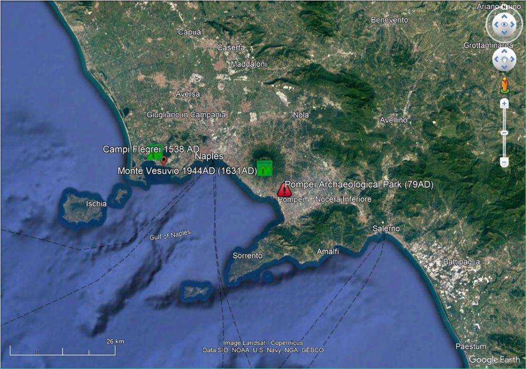
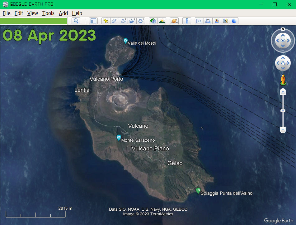
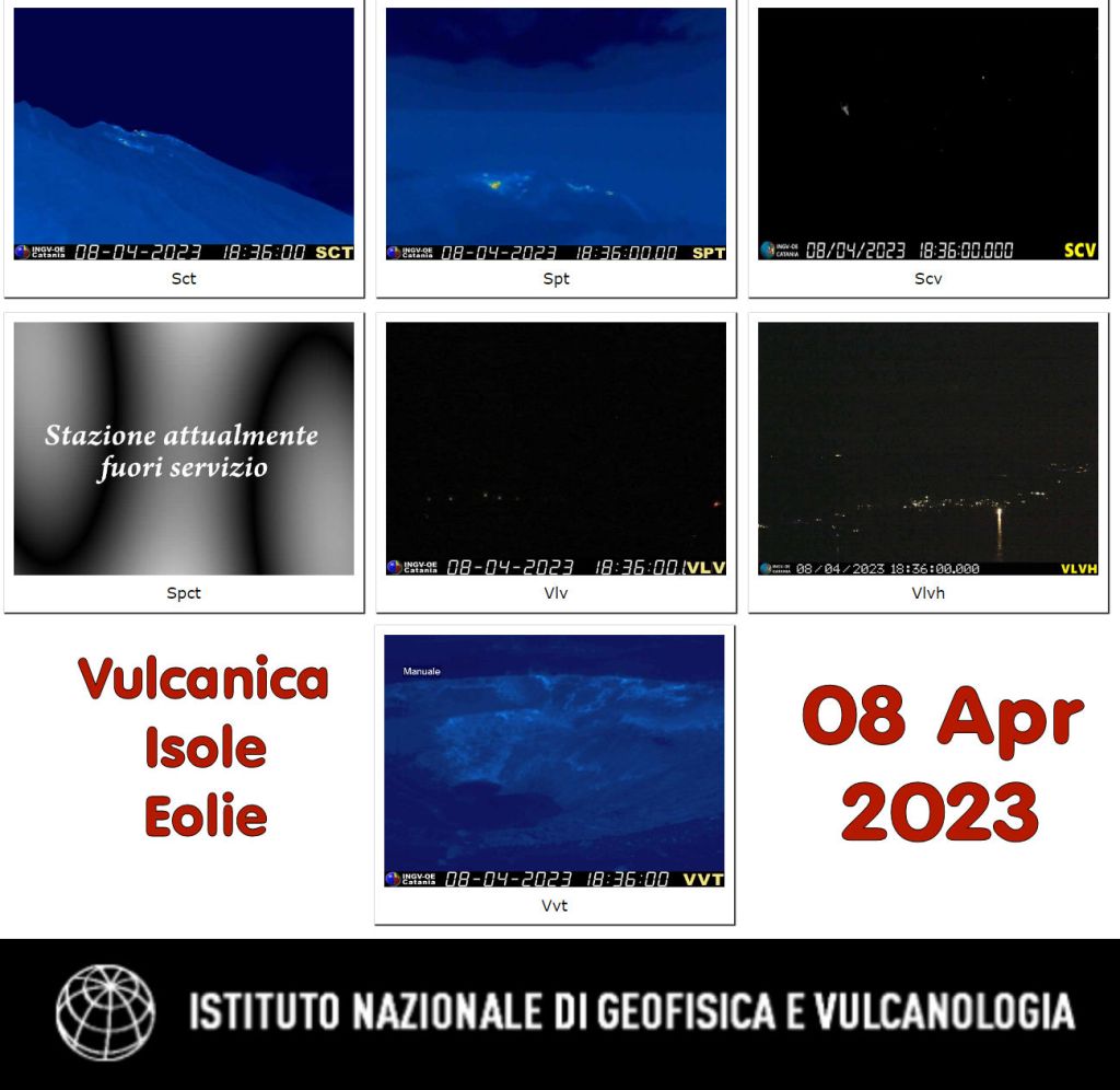
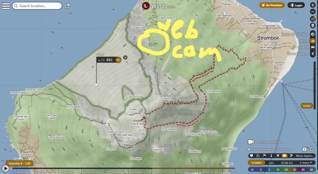
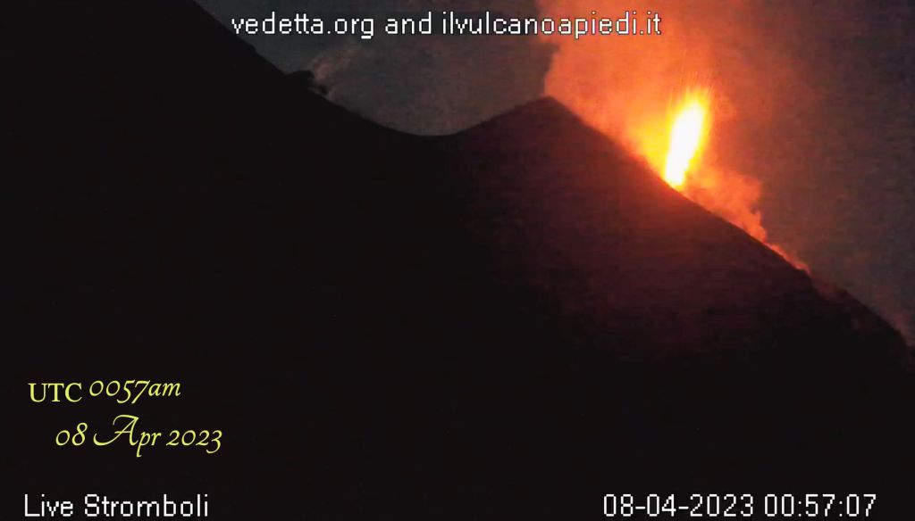
Italy
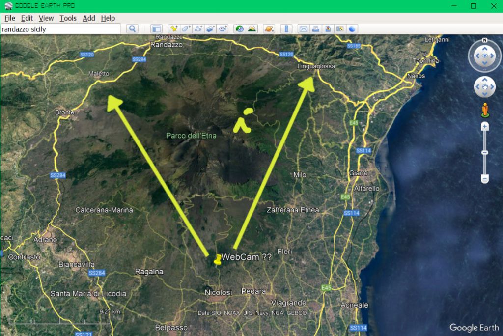
0245am 11 Apr 2023 Italy Volcano Map Google Earth Pro – First Attempt
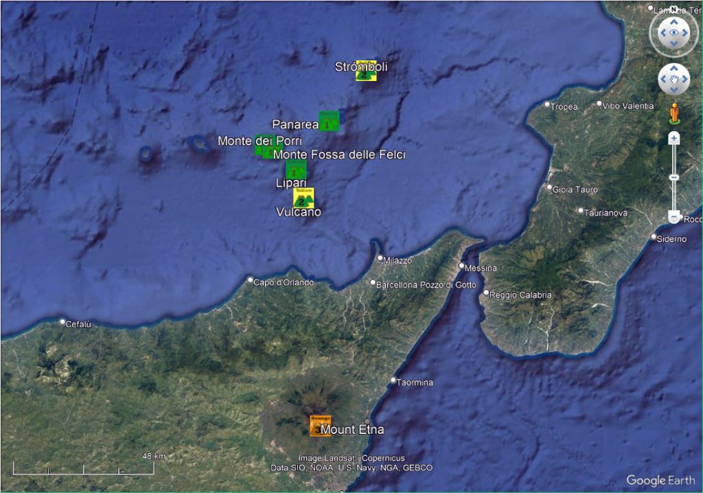


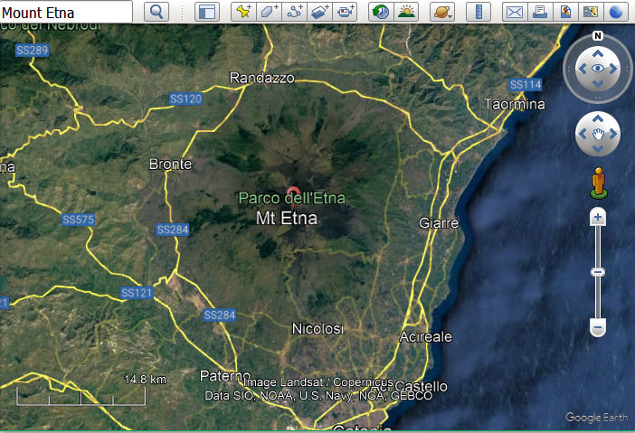
Italy – Mount Etna
Webcams – Mount Etna – T02026_03
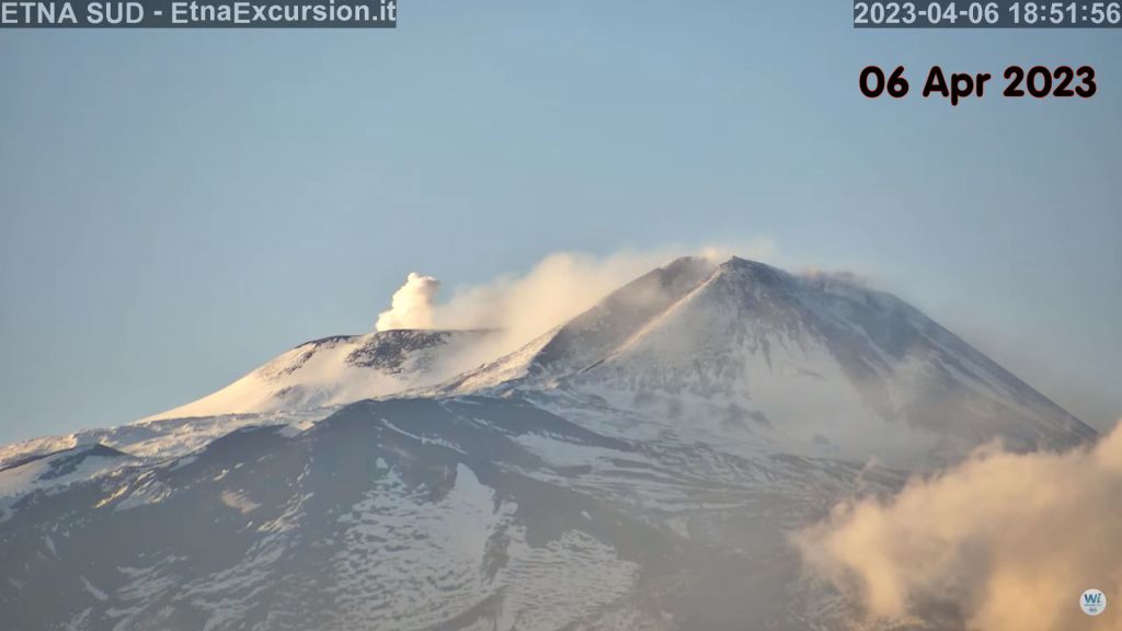
- Skyline Webcams – View of the summit craters – Etna, view of Tarderia southeastern crater from Pedara – Mount Etna – Piano Provenzana Live cam View of the summit craters, north-east side, 1.805 mt. above sea level
- WorldCam – Paternò – Mount Etna – Volcano – Piano Provenzana – Mount Etna – Santa Domenica Vittoria – Etna Volcano – Zafferana Etnea – Church of Santa Maria della…
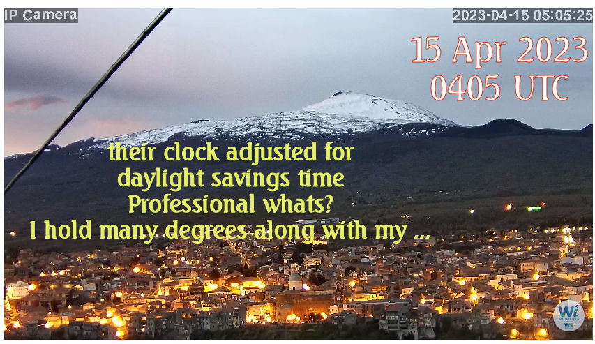
- Weather Sicily – Santa Domenica Vittoria (ME) – Overview of Northern Etna – Zafferana Etnea (CT) – Etna e Chiesa Madre
- Radio Touring – Vista Etna versante sud ovest


Mexico


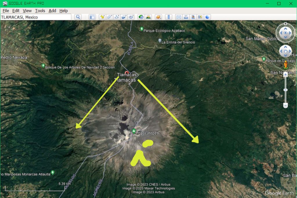
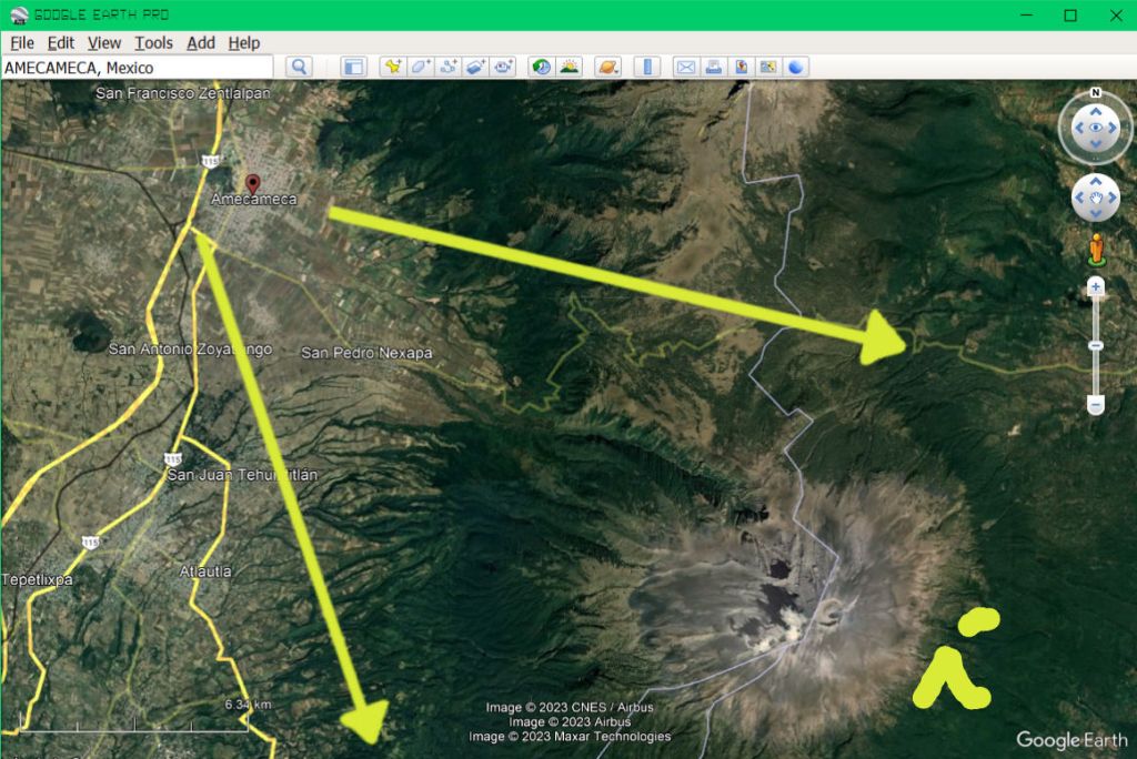
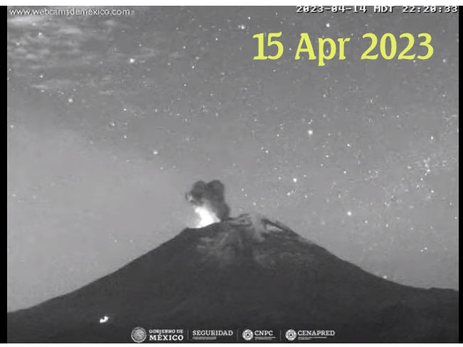
Mexico – Popocatepetl


WebCamTaxi have two cameras in the their site above.
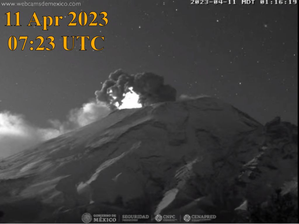
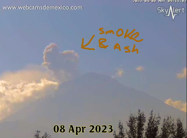
Mexico – Volcán de Fuego de Colima

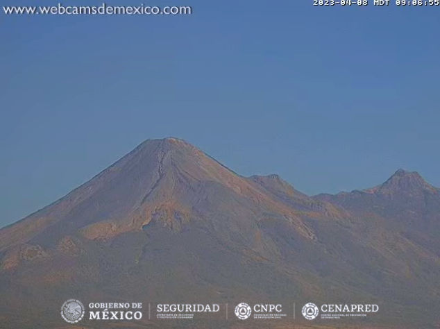
Screenshot 08 Apr 2023
webcamsdemexico
Volcán de Fuego de Colima
WebCamera below:
Guatemala
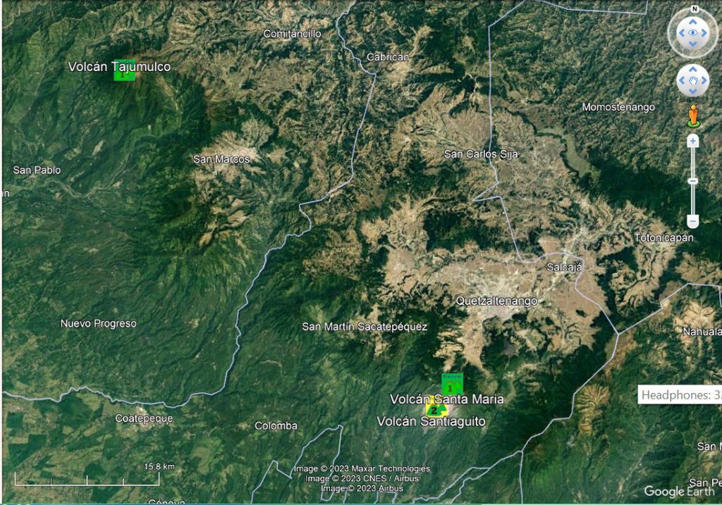
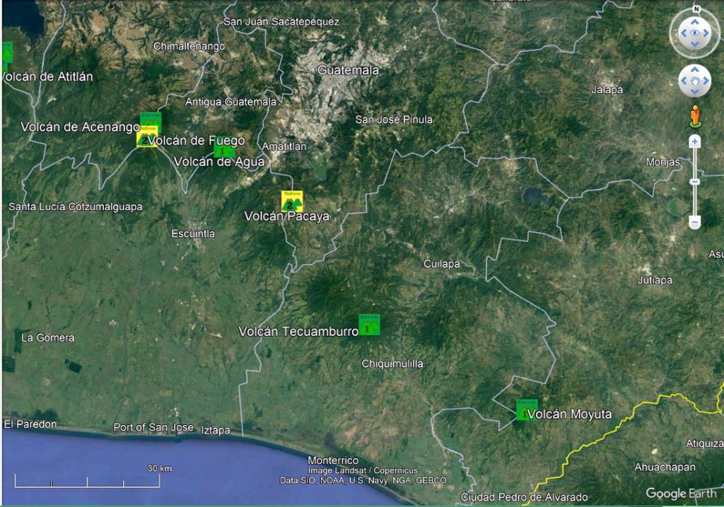
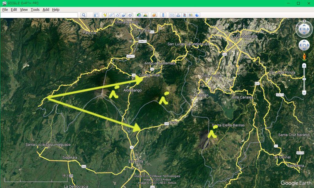
0245am 11 Apr 2023 Guatemala Volcano Map Google Earth Pro – First Attempt


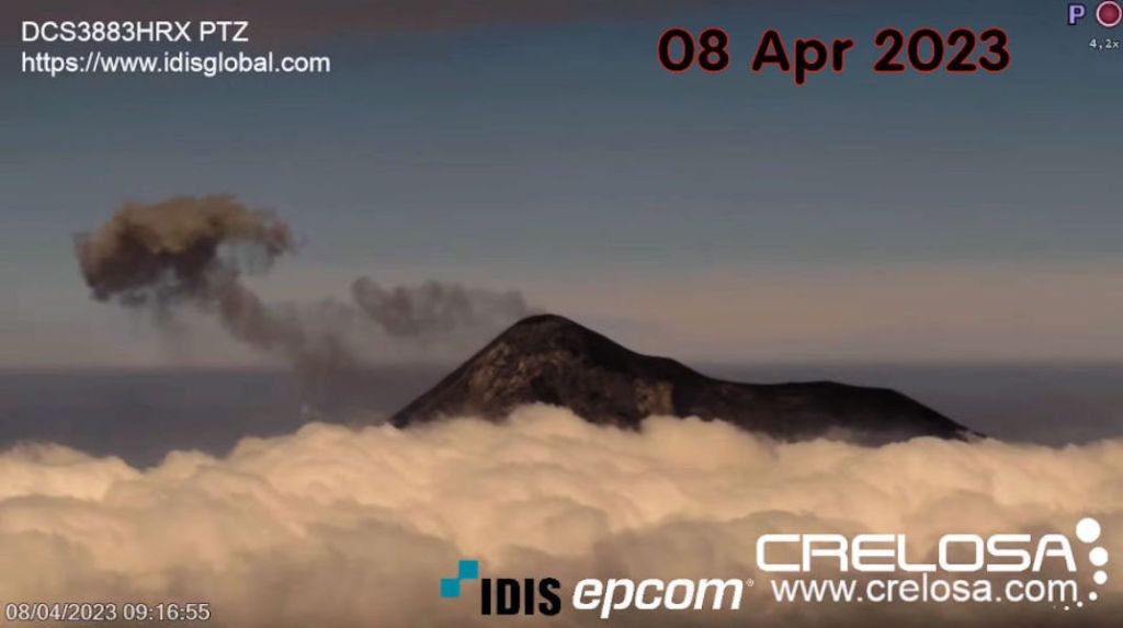
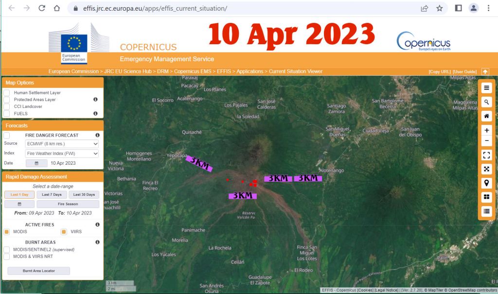
Guatemala – Volcán de Fuego

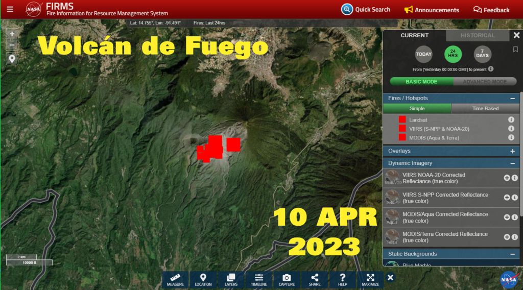
Screenshot 08 Apr 2023 Volcán de Fuego
The www.crelosa.com camera below:
is saying time 1min 36seconds faster than my time.


The estimate of Camera position is based on seeing three ??? volcanoes erupting during the morning? Fuego, Agua and Pacaya ??? Oh, it’s a very long telescope…
Guatemala – Volcán Santa Maria

Guatemala – Pacaya (Volcán)


Chile
Chile – Volcán Láscar


Chile – Complejo Volcánico Laguna del Maule


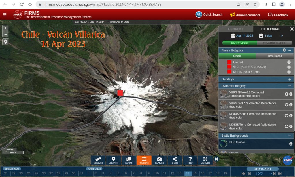
Chile – Volcán Villarrica


New Zealand


New Zealand – Raoul Island

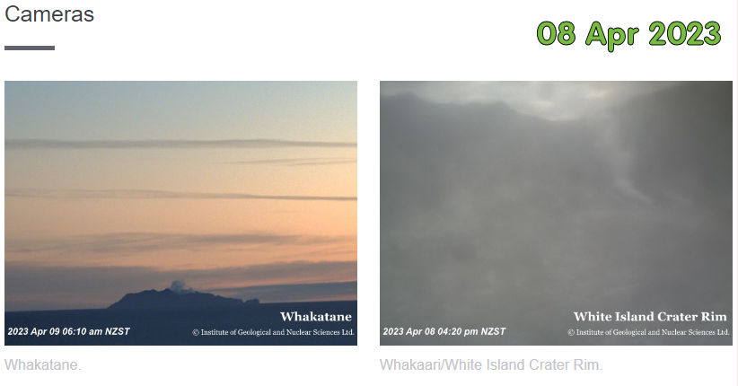
New Zealand – Whakaari / White Island


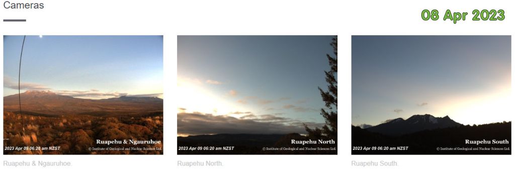
New Zealand – Tongariro National Park – Mount Tongariro – Mount Ruapeho – Lake Taupo


Indonesia


Indonesia – Gunung Ibu


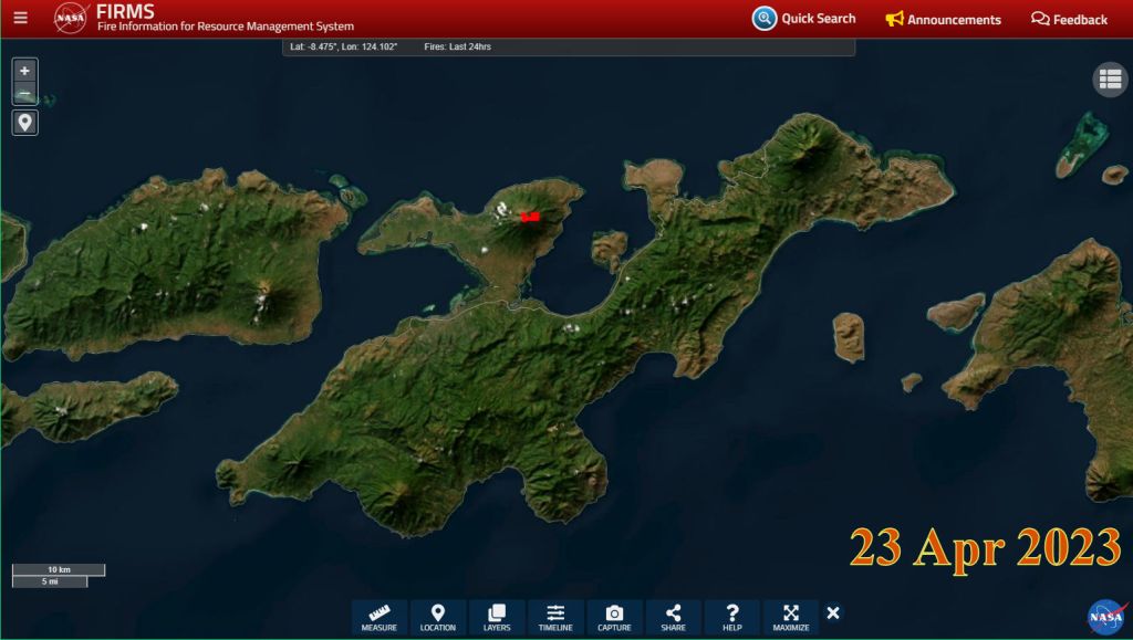
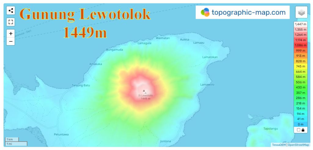
Indonesia – Gunung Lewotolok


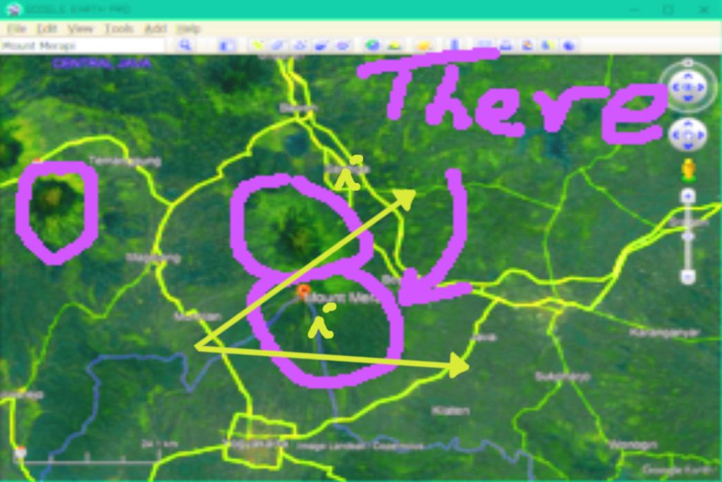
Indonesia – Gunung Merapi

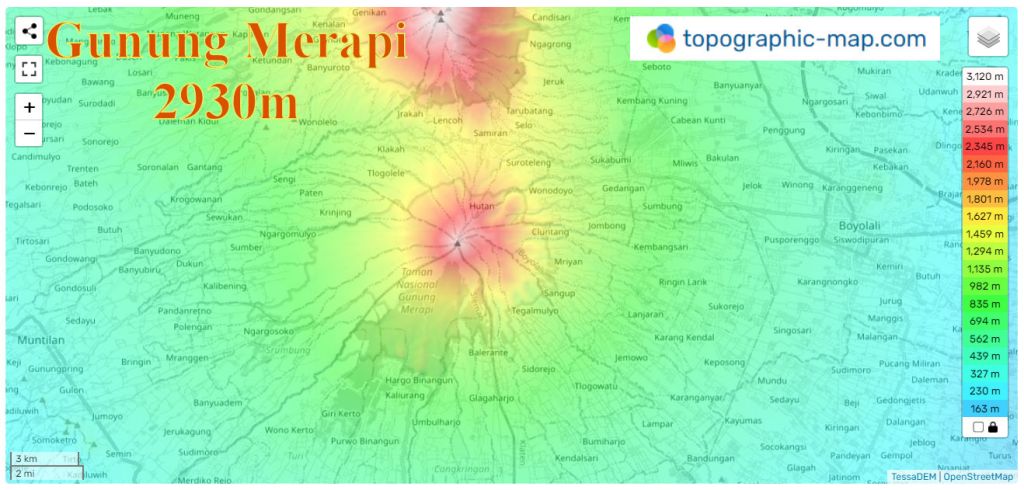

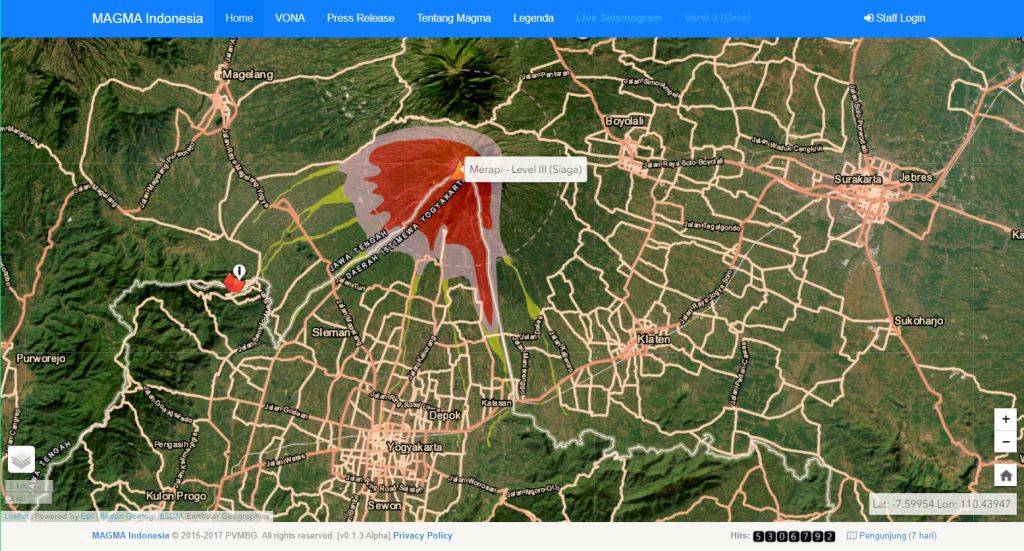

Current warning – Level 3 – Exclusion Zone 3 to 7 kilometers
Checked 03 May 2023 – VolcanoDiscover.com – Global Volcanism Program


Click on video left to view.
Indonesia
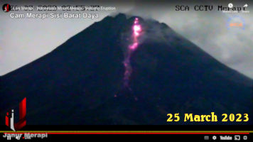
Volcano Mount Merapi
Timelapse of lava flow today.
22 Apr 2023
Largest flow approx two hours ago 21:00 UTC 22 Apr 2023

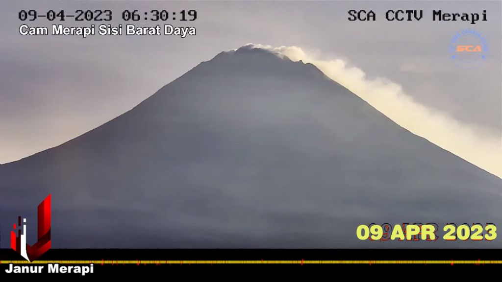

The noise on the camera below is awful, you might mute the sound?

United States of America


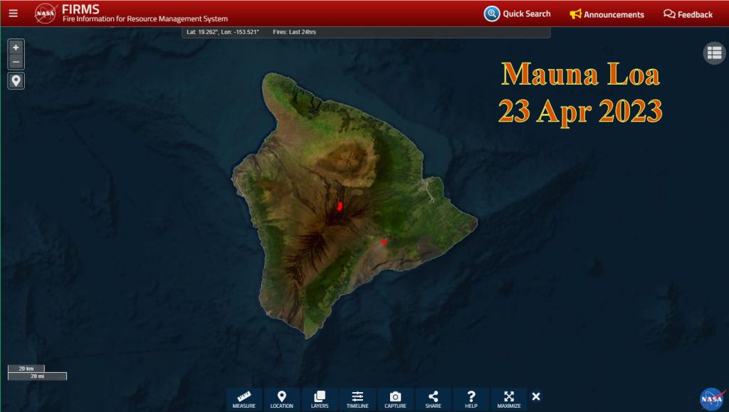
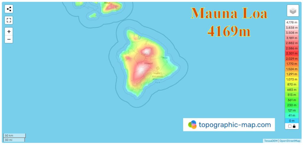
United States of America – Kilauea


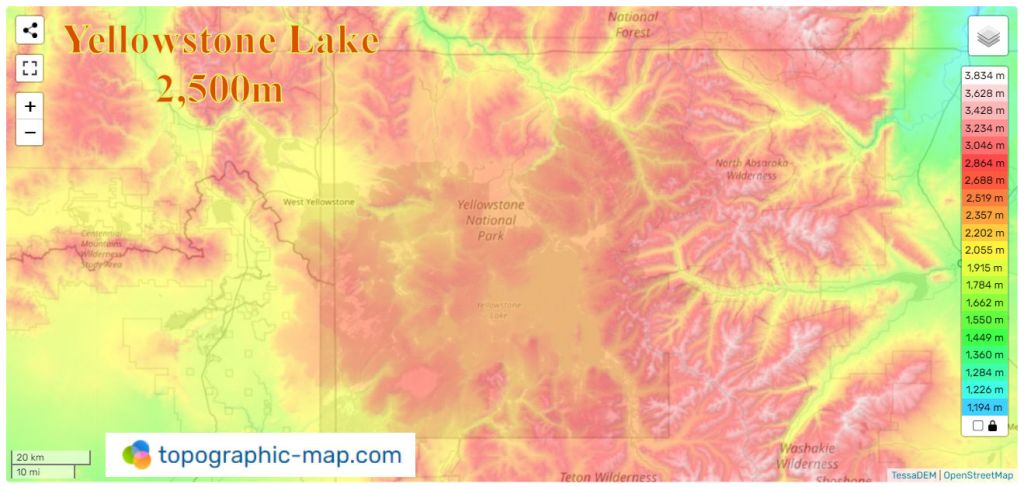
United States of America – Yellowstone Caldera

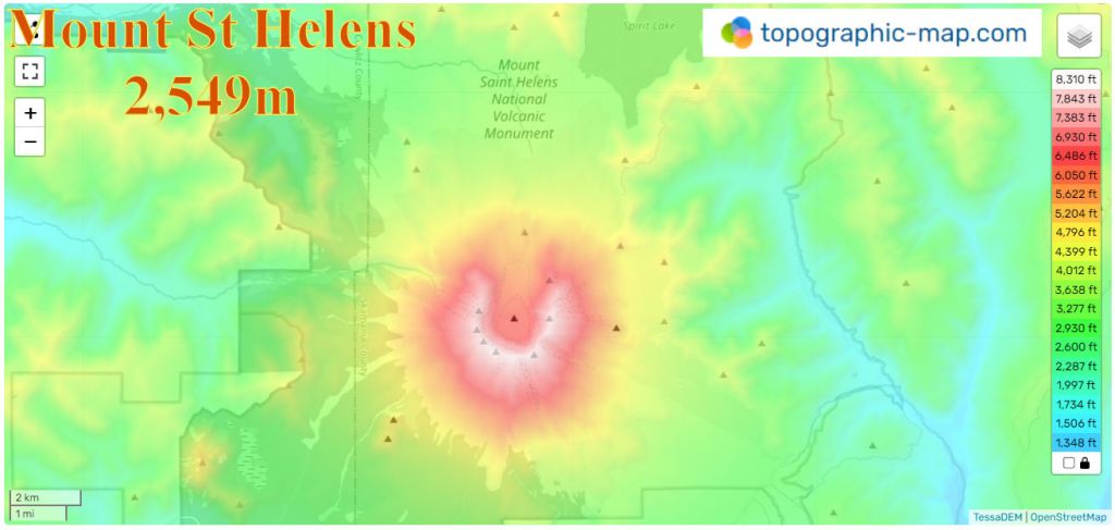
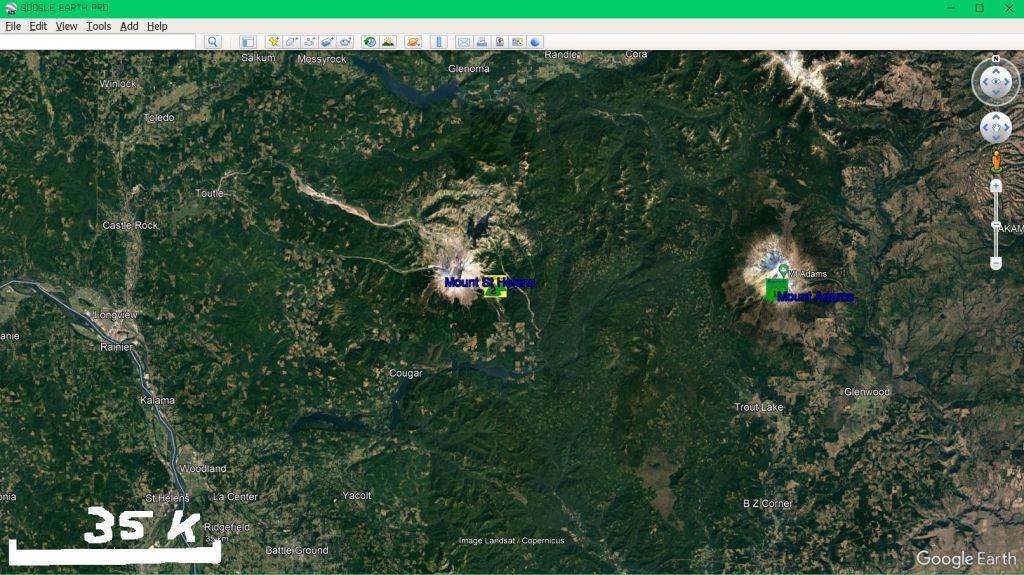
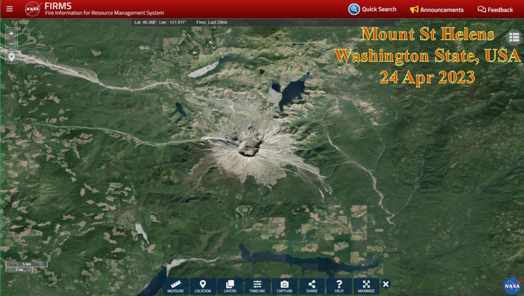
United States of America – Mount St Helens, Washington State


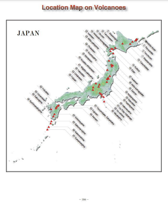
JAPAN
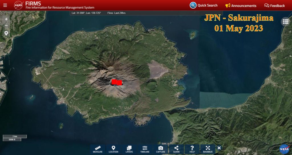
Japan – Sakurajima Volcano


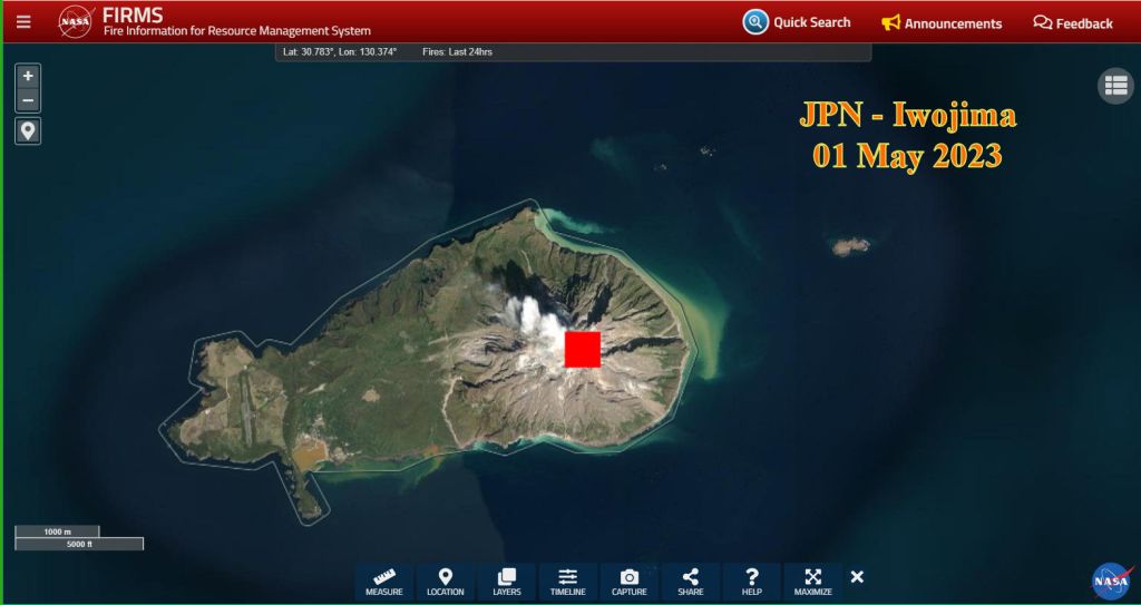
Japan – Iōjima –
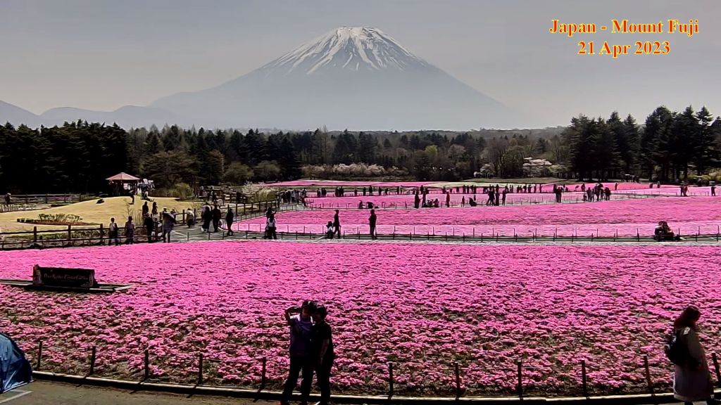
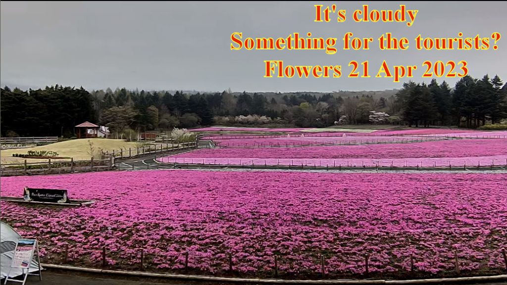
Japan – Mount Fuji


Democratic Republic of the Congo
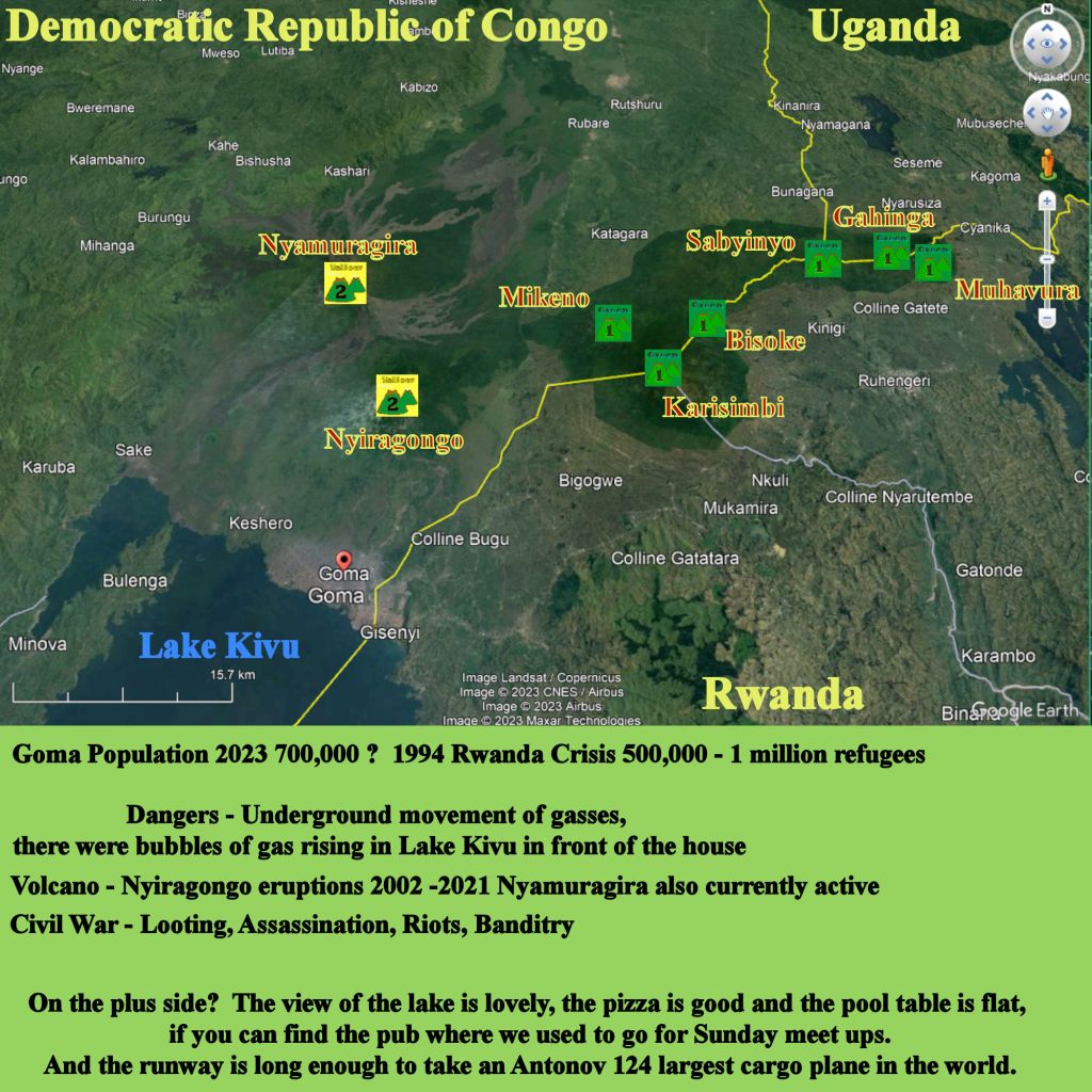
Democratic Republic of the Congo – Nyiragongo
Eruption 2021
- DW News – YouTube Thousands flee erupting Mt. Nyiragongo volcano in DR Congo Interview with Chief of MONUSCO
- CNN https://edition.cnn.com/videos/world/2021/05/31/drc-congo-goma-mount-nyiragongo-madowo-lkl-intl-hnk-vpx.cnn
- – Video of the lava flow into Goma, DRC 2021 – Twitter
Eruption 2002
- I lived about 20 km from Nyiragongo in Goma beside Lake Kivu to the South for six months. The volcano erupted 18 Jan 2002, approx 4 weeks after I left for home. NASA Earth Observatory Sat photos
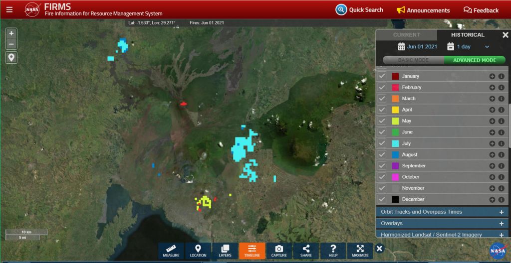
NASA FIRMS Snapshot 01 Jun 2021 Active Fires in bright RED, burned areas for entire year of 2021, note multiple lava flows and some lava flows did not set off the thermal as they had cooled by the time the overpass had happened. You click on the historical button in the NASA Firms site top right hand side of picture below. Day of Jun 01 2021 Burned areas in the other colours, though I think they might have chosen other colours than red for Jan and Feb? The grey for November is pretty shit too? Well, if you change the map to the street map, the colours show up beautifully. I like the Blue Marble map. Yes, I do.
Democratic Republic of Congo – Nyamuragira
Slightly to the North West of Nyiragongo.

Democratic Republic of Congo – Mikeno (dormant)
Democratic Republic of Congo – Karisimbi (dormant)
Shares a border with Rwanda.
Democratic Republic of Congo – Visoke (Bisoke) (dormant)
Shares a border with Rwanda.
Democratic Republic of Congo – Sabyinjo (dormant)
Shares a border with Rwanda and Uganda (The peak is in Congo?).

Vanuatu

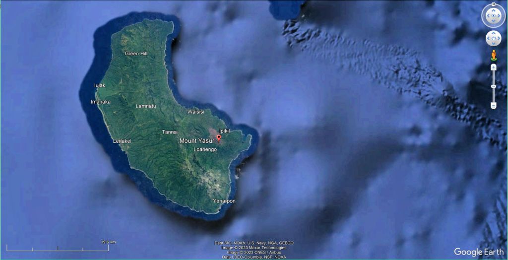
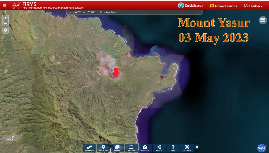
Vanuatu – Mount Yasur, Tanna Island
Papua New Guinea
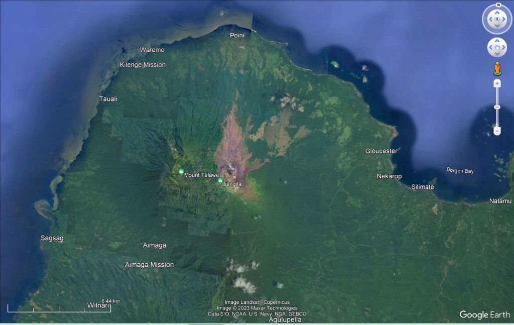
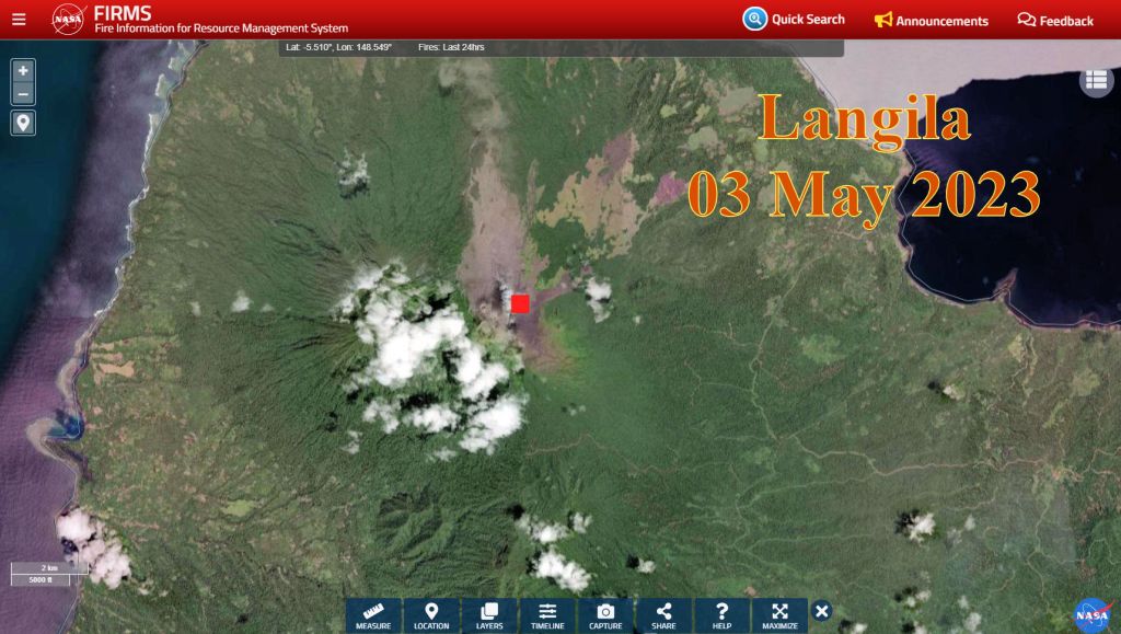
Papua New Guinea – Langila
Phillipines
PHL – Taal Volcano
Colman’s Volcano Alert Statuses